 Share
Share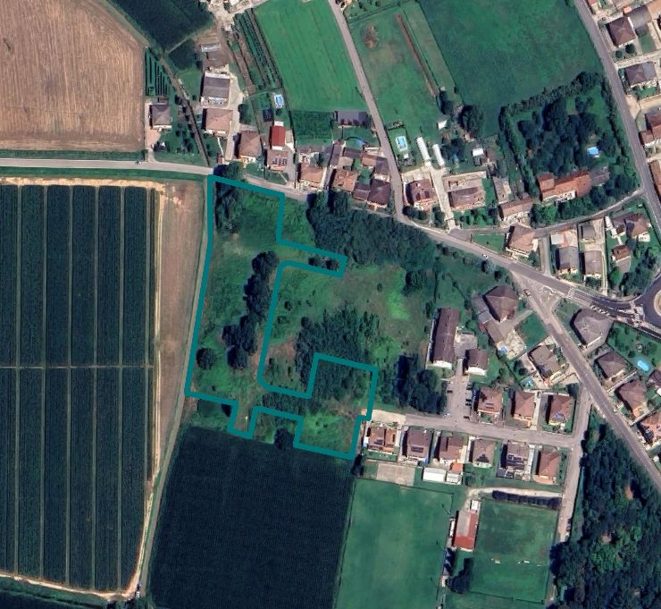
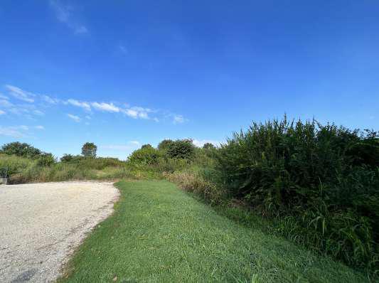
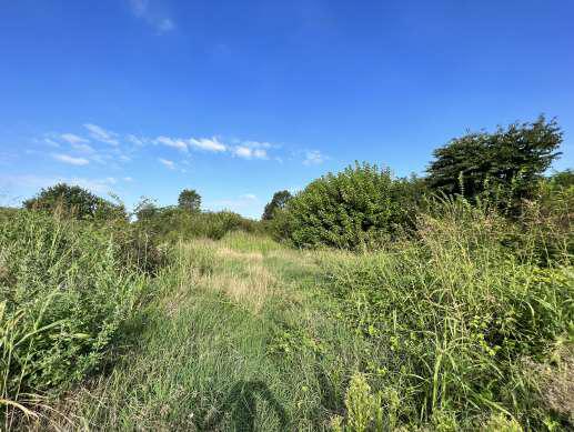
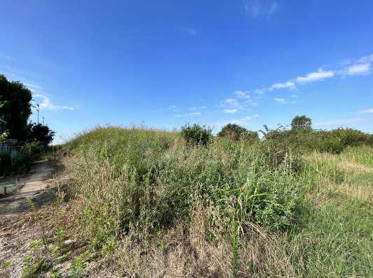
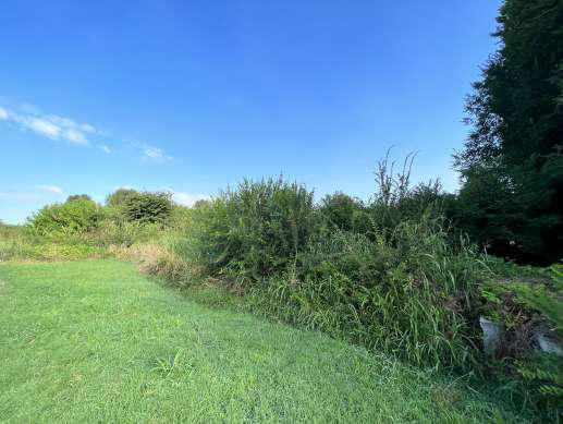
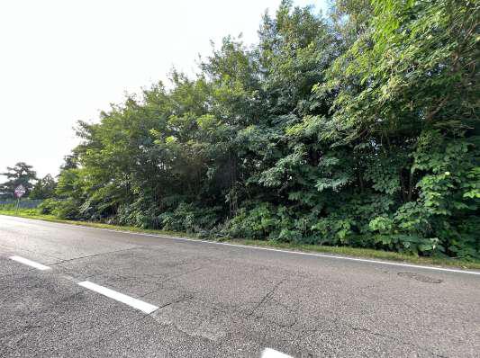
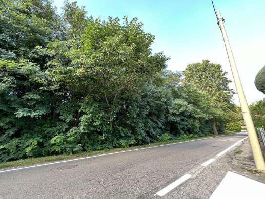
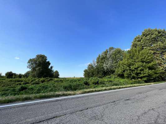

Building Land at auction in Isola della Scala (VR) - Lot 2
Isola della Scala (VR), Località Tarmassia
Building Area di 14236 mq
AT AUCTION Buildable area in Isola della Scala (VR), Tarmassia locality - OFFER COLLECTION
The land up for auction has a total surface area of 14,236 sqm and is identified in the Plan of Interventions as follows:
Sheet no. 58, Cadastral parcels nos. 562 – 568 – 591 – 592 in zone:
- Expansion Zone C2/10 – Art. 14;
- Seismic constraint O.P.C.M. 3274/2003 - Zone 4, now according to D.G.R. 244/2021 - Zone 3 – Art. 48;
- Zone Fc – areas equipped for park, play and sport, project Va/60 – Art. 20;
- Zone Fd – project parking P/58 – Art. 20.
Sheet no. 58, Cadastral parcels nos. 563 – 566 – 573 – 574 in zone:
- PART Zone P.E.E.P./2 – Art. 14;
- PART Expansion Zone C2/10 – Art. 14;
- Seismic constraint O.P.C.M. 3274/2003 - Zone 4, now according to D.G.R. 244/2021 - Zone 3 – Art. 48;
- Zone Fc – areas equipped for park, play and sport, project Va/55 – Art. 20;
- Zone Fc – areas equipped for park, play and sport, project Va/60 – Art. 20;
- Zone Fd – project parking P/57 – Art. 20.
- Zone Fd – project parking P/58 – Art. 20.
Sheet no. 58, Cadastral parcel no. 562 in zone:
- PART Buffer strips (watercourses R.D. 368/1904 and R.D. no. 523/1904) – Art. 5.6.6.1 (Constraints Map);
- Conditionally suitable area – Art. 7.1 (Fragility Map);
- Areas of consolidated urbanization, predominantly residential – Art. 11.2.1 (Transformability Map);
- Homogeneous Territorial Areas - ATO 02 Residential of Tarmassia – Art. 11.1 (Transformability Map).
Sheet no. 58, Cadastral parcels nos. 563 – 566 – 573 – 574 in zone:
- Conditionally suitable area – Art. 7.1 (Fragility Map);
- PART Areas of consolidated urbanization, predominantly residential – Art. 11.2.1 (Transformability Map);
- PART Areas of planned urbanization, predominantly residential – Art. 11.2.3 (Transformability Map);
- Homogeneous Territorial Areas - ATO 02 Residential of Tarmassia – Art. 11.1 (Transformability Map).
Sheet no. 58, Cadastral parcels nos. 568 – 591 – 592 in zone:
- Conditionally suitable area – Art. 7.1 (Fragility Map);
- Areas of consolidated urbanization, predominantly residential – Art. 11.2.1 (Transformability Map);
- Homogeneous Territorial Areas - ATO 02 Residential of Tarmassia – Art. 11.1 (Transformability Map).
Finally, the same lands, according to Variant no. 1 to the approved Territorial Plan, provide the following additional indications:
Sheet no. 58, Cadastral parcels nos. 562 – 568 – 591 – 592:
- They fall within the planned urbanization area under the PRG confirmed by the PAT – C2/10.
Sheet no. 58, Cadastral parcels nos. 563 – 566 – 573 – 574:
- They fall PARTLY within the consolidated urbanization areas;
- They fall PARTLY within the planned urbanization area under the PRG confirmed by the PAT – C2/10.
The land is sold including the goods and materials stored on it; any disposal costs will be borne by the successful bidder.
The lands are registered in the Land Cadastre of the Municipality of Isola della Scala on Sheet 58:
Parcels - 562 - 563 - 566 - 568 - 573 - 574 - 591 - 592
For further information, please consult the appraisal report and the attached documentation.
It is also possible to request additional documentation at the certified email address [email protected]
Details
-
 Area:14.236 sqm
-
 Foglio:58
-
 Particella:562
-
 Lot Code:2
Attachments

Auction History
-
 Initial value of Estimate
653.000,00 €
-
 Current price
1,09 €/mq
-
 Minimum overbid
 - EUR 2.000,00
-
Viewing
- By appointment
-
Reduced by
- -98%
-
Prices indicated are VAT excluded